Google Shut Down Geofence Warrants. Police Can Buy Other Maps
Google moved Maps Timeline histories onto users’ phones, closing a dragnet police had used for years. The location-data market that fed the same investigative appetite remains open.
August 12, 2026 · 8 min read
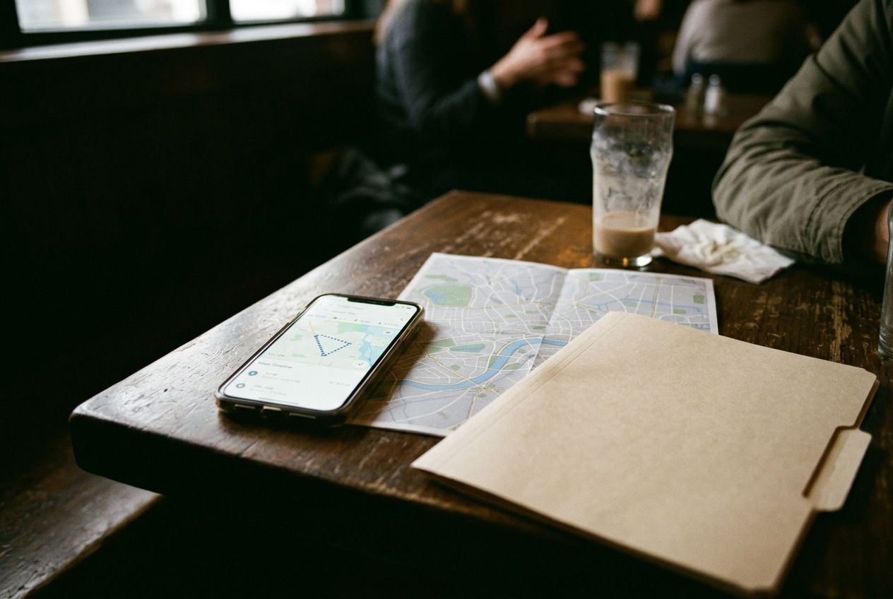
Open Google Maps, tap your profile picture and select Timeline. The map on that screen may contain years of visits, routes and repeated stops, depending on your settings and what survived Google’s migration. The important detail now sits behind the interface: that history is stored primarily on the phone in your hand, rather than in one central Google database.
That small architectural change closed a large police search tool.
A geofence warrant ordered Google to identify devices recorded inside a defined place during a defined period. Investigators did not begin with a suspect. They began with a patch of map, then asked the company to work backward toward people. Google’s old Location History system made that possible because participating devices sent their movements to a central store commonly called Sensorvault.
Now the Timeline map is local. Google cannot search a warehouse it no longer holds in the same form. That works for Google, which spent years processing contentious demands and defending the system in court, and for users who no longer sit inside that particular retrospective dragnet.
It does not close the market. It closes one counter.
What Google changed
Location History, now branded as Timeline, was an opt-in Google account feature that recorded visits and routes. Under the previous architecture, Google retained that data centrally, which allowed a warrant to request every responsive device near a robbery, protest, fire or killing even when investigators had no account name.
The production commonly unfolded in stages. Google first returned pseudonymous device identifiers, meaning labels standing in for accounts, with location points around the requested area. Police could seek more movement data to narrow the field, then ask Google for subscriber details associated with selected devices. Google added internal limits and challenged some demands, but the mechanism remained a reverse search.
Everyone in the digital perimeter entered the process before police decided who mattered.
Google announced in late 2023 that Timeline data would move onto users’ devices. The company also shifted the default deletion period for new Timeline data to three months, while allowing users to choose longer retention, and offered encrypted cloud backups that Google said it could not read. The migration continued through account notices and product changes afterward.
Return to that Timeline screen. Its dots may look the same, but the custodian has changed. A court can order a company to produce records it possesses; it cannot make Google retrieve a history held only on a user’s phone. Investigators may seize and search that phone under separate legal authority, but that is a targeted device search, not a request for every unknown handset that crossed a polygon.
This distinction matters. It also has limits. Google still holds other account and service records, depending on the product, settings and retention period, and law enforcement can seek those records through legal process. The change concerns the centralized Timeline architecture that supported geofence warrants.
It is not a general switch that makes Android phones, Google accounts or their owners untraceable.
The replacement map is assembled by apps
A weather app, game, shopping tool or dating service can request location permission. Some collect precise coordinates for a function the user can see. Others include a software development kit, a bundle of third-party code added for advertising or analytics, that sends information into a separate commercial chain.
A typical location record contains latitude, longitude, a timestamp and an advertising identifier assigned to the device. The identifier is not a name, but repeated movement can expose one. A device that sleeps at one residential address most nights and spends weekdays at one workplace does not need a name attached for long. Brokers aggregate those points, resell access or feed them into products that let customers search an area and follow selected identifiers over time.
Public reporting has documented law-enforcement access to such systems. Fog Data Science has sold agencies access to Fog Reveal, which uses commercially obtained location information associated with mobile advertising identifiers. Babel Street has offered Locate X, another location-analysis product used by government customers. These tools can turn the same investigative premise behind a geofence warrant into a vendor interface: draw an area, find devices, inspect their movements.
The legal and technical routes differ. Google received a judicial demand and searched its own account-linked database. A police department buying broker access acts as a customer, often through an annual contract or trial account, and the vendor may have obtained the underlying information several transactions earlier. The person carrying the phone is absent from each negotiation.
That distance is useful. Each company can describe itself as handling pseudonymous data, providing analytics or serving public safety, while the finished product still reveals that one device traveled from a home to a clinic, a church, a union office or a demonstration. The advertising identifier does not protect the person once movement supplies the identity.
Google’s local Timeline does nothing to interrupt this supply chain. A phone can keep its private route history on-device while an unrelated app transmits fresh coordinates through advertising infrastructure. The Timeline screen and the broker’s map may describe the same trip, assembled under different permissions and controlled by different companies.
Police can follow cars and carriers too
Commercial location surveillance is not confined to mobile advertising. Automated license plate readers photograph plates and attach time and place, creating searchable vehicle histories. Flock Safety operates a widely used camera network, while other vendors maintain plate databases assembled from fixed cameras, police systems and repossession vehicles. Agencies can search their own captures, obtain access shared by other departments or purchase commercial services, depending on the network and local rules.
A plate record is narrower than a phone coordinate and broader in another sense. It follows a vehicle rather than an account, can capture people who never installed an app, and leaves passengers or borrowed-car drivers to explain an inference the database cannot resolve. Dense camera coverage can still reconstruct routines.
Phone companies hold another ledger. Cell-site location information places a handset through its connections to network towers; the Supreme Court’s 2018 Carpenter decision generally requires a warrant for sustained historical records, though it left shorter periods, emergencies and several reverse-search practices unresolved. Police can also request tower dumps, which identify devices connecting to specified towers during a period, subject to legal standards that vary across courts and jurisdictions.
These routes cost different things. A carrier request takes legal paperwork and often a known phone number. A plate-reader query needs a plate or a place to start. Broker software sells speed and scale, letting an investigator explore before drafting the affidavit that traditional records demand.
Convenience is part of the product.
The market survives the constitutional argument
Courts have divided over geofence warrants, with some finding particular versions unconstitutional and others allowing them under narrower reasoning. Google’s redesign may reduce the number of future cases involving its Timeline database, but it does not settle whether government agencies may purchase location information that would otherwise require judicial approval.
The Supreme Court has not supplied a clean rule for the broker market. Carpenter limited the old third-party doctrine, under which information disclosed to a company received weaker Fourth Amendment protection, but the ruling was deliberately narrow. Agencies and vendors have operated inside the remaining space.
Regulators have started attacking parts of the supply chain. The Federal Trade Commission has brought cases involving companies including X-Mode, InMarket and Kochava, focusing on the sale or use of precise location data and the exposure of sensitive visits. Those actions can constrain named businesses and establish standards. They do not create a single national ban on collecting, trading or purchasing location histories.
The commercial route survives because it separates the act that generates the data from the institution that wants it. One app requests permission. An embedded company receives the signal. A broker combines it with other signals.
A policing vendor packages the result. An agency pays for access. No single transfer looks like the full surveillance system, although the final search can be as revealing as the centralized Google query that prompted years of litigation.
On the Timeline screen, the change is real. The old geofence machine depended on Google holding a population-scale archive, and Google dismantled that architecture. The remaining maps are more fragmented, less uniform and sometimes less reliable. They are also distributed across an industry whose customers do not need Google’s cooperation.
Questions people ask
Can police still get location data from Google?
Yes. Police can seek Google records that the company still possesses, subject to applicable legal process, and can search a seized phone with proper authority. What largely disappeared is Google’s ability to search a centralized Timeline archive for every device present inside a requested boundary.
Does turning off Google Timeline stop location tracking?
It stops that Google feature from building a Timeline history, but it does not control every app, advertising component, cellular connection or license plate camera. Location permissions, advertising settings and each app’s data practices remain separate from the map stored in Google Timeline.
Do police need a warrant to use brokered location data?
There is no uniform national answer covering every purchase and use. Agencies have treated commercially available data as something they may buy without a warrant, while civil-liberties groups argue that this evades Carpenter and the Fourth Amendment. State laws, contracts, agency policy and the facts of a search can change the analysis.
Who gets paid when police buy a location tool?
The agency pays the vendor named in its contract, such as a location-analysis or plate-reader company. Revenue may then flow through brokers and data suppliers, while the app user whose movements created the underlying record usually receives no payment and may never learn that the record entered a police search.
One update a day
Today's story, in your inbox
One story each morning — no hype, no filler, no algorithm deciding for you.